NOAA’s Climate Prediction Center has issued a La Niña Watch, signaling that conditions are favorable for La Niña to develop in the next few months. Here’s what that could mean, especially for Texas and the Gulf Coast.
What is La Niña, and What Is the Current Status?
Right now, the climate state is neutral — neither El Niño nor La Niña is officially underway. Sea surface temperatures in the equatorial Pacific are near to just below average in places. NOAA’s models indicate about a 70 percent chance that La Niña conditions will be present during October through December 2025. The odds shift to just over 50 percent for December through February 2026. In other words, La Niña is likely to form, though it may not be strong or long-lasting.
Typical Effects of La Niña Across the U.S.
Based on past La Niña winters, the broader implications usually include:
- Warmer-than-average winter temperatures in the southern U.S.
- Cooler winters in the Northern Plains
- Wetter-than-normal conditions in the Pacific Northwest and Ohio Valley
- Drier-than-normal conditions in the U.S. southern tier
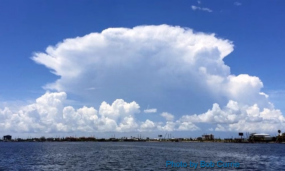
- A more active Atlantic hurricane season because cooler Pacific waters reduce vertical wind shear over the Atlantic
What It Could Mean for Texas and the Gulf Coast
Here’s the good, the challenging, and what to watch out for along the Gulf Coast, including Crystal Beach, Galveston, Houston, and the broader Texas coastline.
| Aspect | Likely Impact | Planning and Preparation |
|---|---|---|
| Hurricane and Tropical Storm Activity | Heightened risk: La Niña tends to favor more favorable conditions for tropical storms and hurricanes in the Atlantic basin, which could increase risk for the Texas Gulf Coast. | Be ready earlier: ensure storm plans, hurricane supplies, flood insurance, and evacuation routes are reviewed well ahead of time. Keep an eye on tropical outlooks as the season progresses. |
| Winter Temperatures | Winters might be milder than normal along the Texas Gulf Coast and much of southern Texas. Colder spells will still happen but may be less intense. | Lower heating costs perhaps, but also less chill that drives certain seasonal industries or wildlife cues. For gardeners and agriculture, winters could be more forgiving. |
| Precipitation and Drought Risk | Drier-than-average conditions are more likely for the southern U.S., including much of Texas — especially South Texas and Gulf Coast areas. | Water conservation becomes more important. Monitoring reservoirs and keeping tabs on drought outlooks will help. Agriculture should plan for potentially water-stressed conditions. |
| Flooding and Storm Surges | Even though overall precipitation might be down, tropical storms or hurricanes can still dump very heavy rains quickly and cause extreme flooding. Surge risk remains for the Gulf Coast. | Maintain vigilance: check flood maps, have safeguards such as elevated structures and proper drainage. Insurance implications matter too. |
| Ecosystems, Agriculture, and Wildfire Potential | Drier and potentially warmer winters could stress vegetation and increase wildfire risk in inland areas. Agriculture may struggle where water is limited. Coastal salt marshes and estuaries may be affected by higher temperatures and lower fresh water input. | Farmers and ranchers may need to adjust planting schedules or crop choices. Water managers should monitor supply. Conservation planners should watch for saltwater intrusion and ecosystem stress. |
What to Watch for in the Coming Months in Texas
- Tropical season still ongoing: Even though peak hurricane season is often in mid-September, tropical systems can develop later. With La Niña conditions forming, any storms that grow may have fewer suppressing factors.
- Rainfall patterns and drought indices: Keep an eye on drought monitoring tools. If rainfall lags, dry soil, reservoir drawdowns, and potable water issues can emerge.
- Temperature anomalies: Expect fewer very cold snaps but also less of the “crisp” coolness that sometimes marks fall and winter in Texas. This matters for agriculture, energy demand, and comfort.
- Water infrastructure: Given possible drier trends, water supply infrastructure may be stressed. Coastal infrastructure such as seawalls and levees should also be in good repair given storm surge risk.
Bottom Line
For Texas and especially the Gulf Coast, the shift into La Niña conditions likely means:
- A more active hurricane and tropical storm risk
- Winters that are warmer and potentially drier than average
- A need for preparation in water management, storm readiness, and adapting to more volatile precipitation patterns
Even though this La Niña season may not be strong or very long, its effects can still make a difference — especially for coastal and low-lying areas already vulnerable to storms and flooding.


